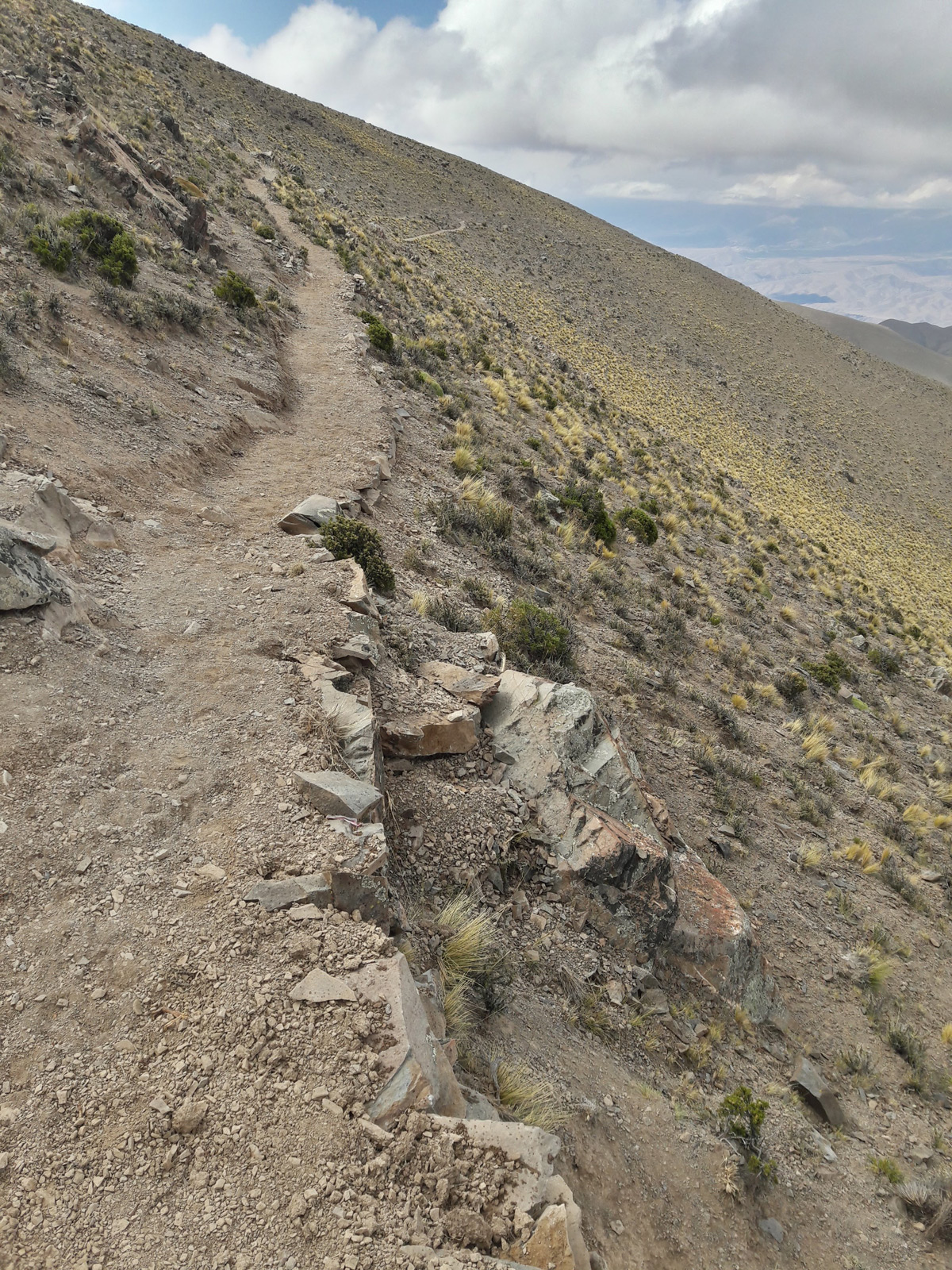
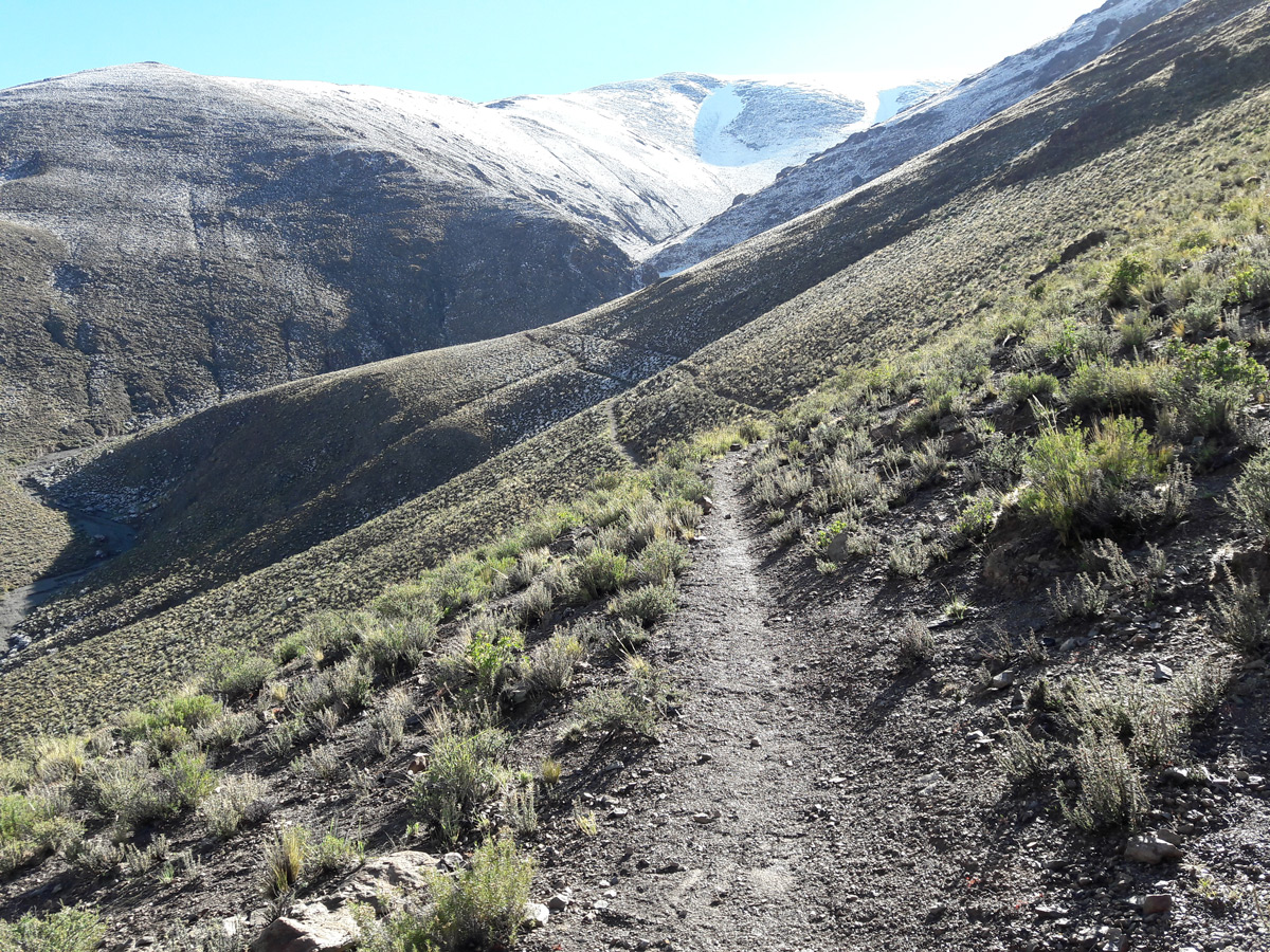
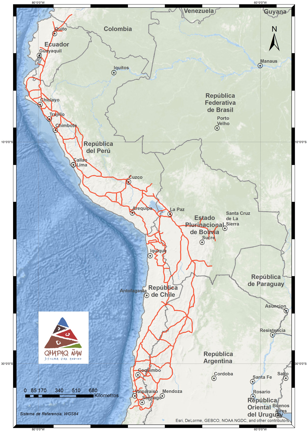
El Estado incaico configuró una compleja organización política, social y económica con una gran capacidad para movilizar bienes, personas e información, asegurando a través de la red vial la comunicación y transporte hacia todos los puntos del territorio. Estos caminos partían desde el Cusco hacia las cuatro regiones del Tawantinsuyu, uniendo el espacio desde el sur de Colombia, hasta Mendoza en Argentina y el sur de Santiago en Chile a través de tramos que alcanzaron más de 40.000 mil kilómetros en su totalidad pero que se conocen actualmente alrededor de 25.000.
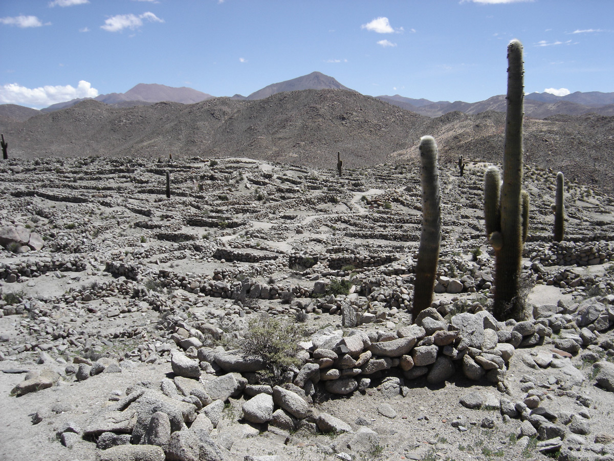
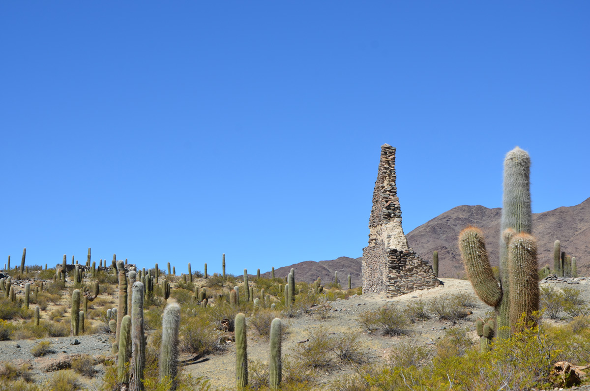
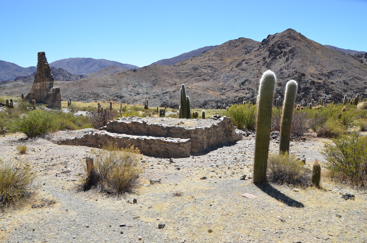
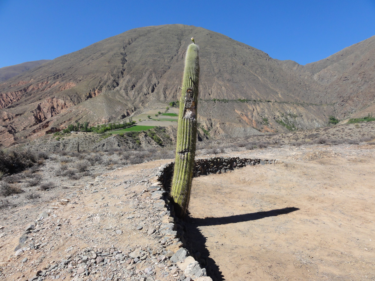
Esta red fue marcada por sitios como tampus o tambos, chasquihuasis (casa de los mensajeros), puestos de observación, puestos administrativos de control de los centros de producción minera, agrícola y ganadera entre otros. kilómetros de estas rutas
En el año 2002 se inició el Proyecto Qhapaq Ñan con el objetivo de registrar, investigar y conservar el camino andino prehispánico y en junio del año 2014 el Vial Andino fue incluido en la Lista de Patrimonio Mundial de UNESCO.
La nominación comprendió tramos de caminos y sitios asociados correspondientes a seis países: Colombia, Ecuador, Perú, Bolivia, Argentina y Chile. En Argentina, involucró a siete provincias: Jujuy, Salta, Tucumán, Catamarca, La Rioja, San Juan y Mendoza.
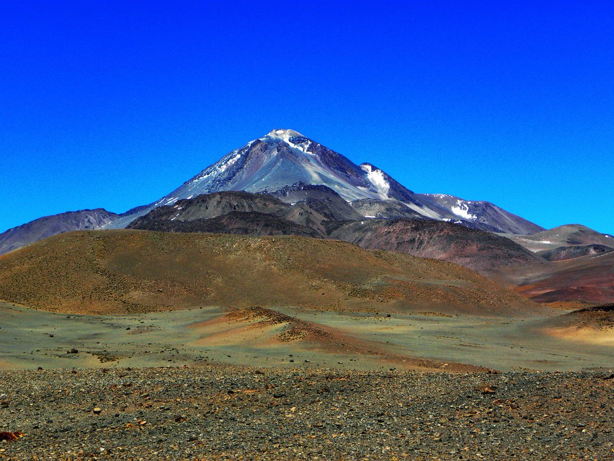
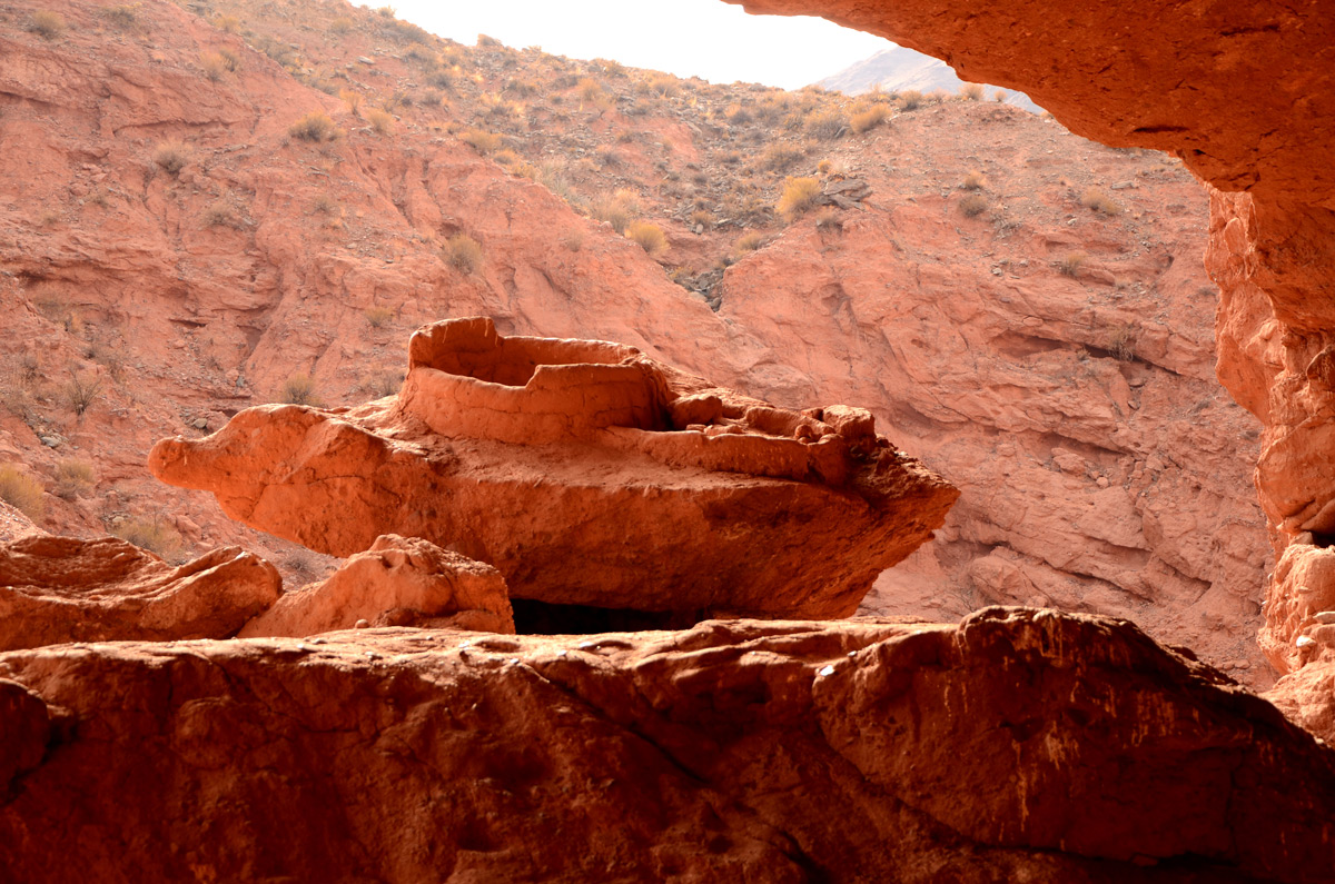
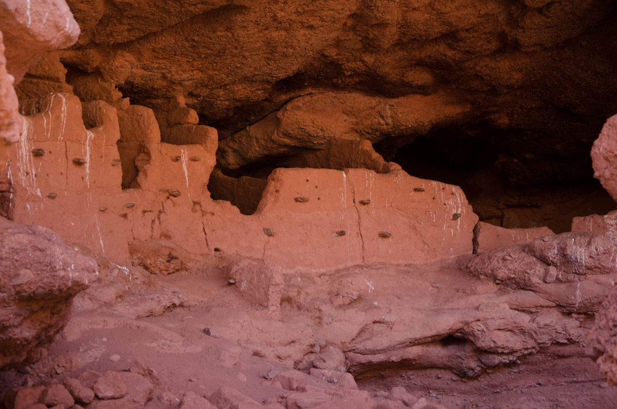
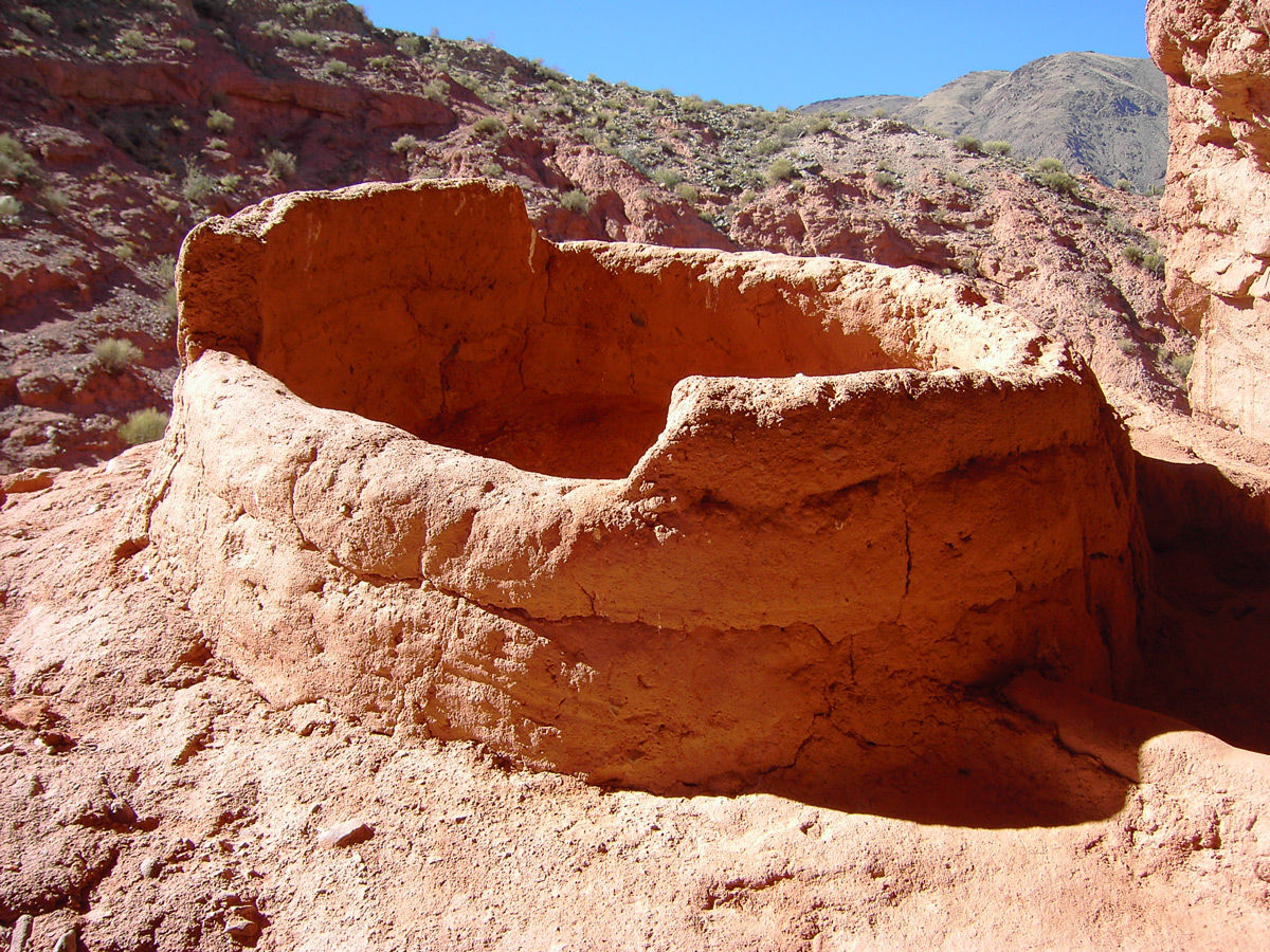
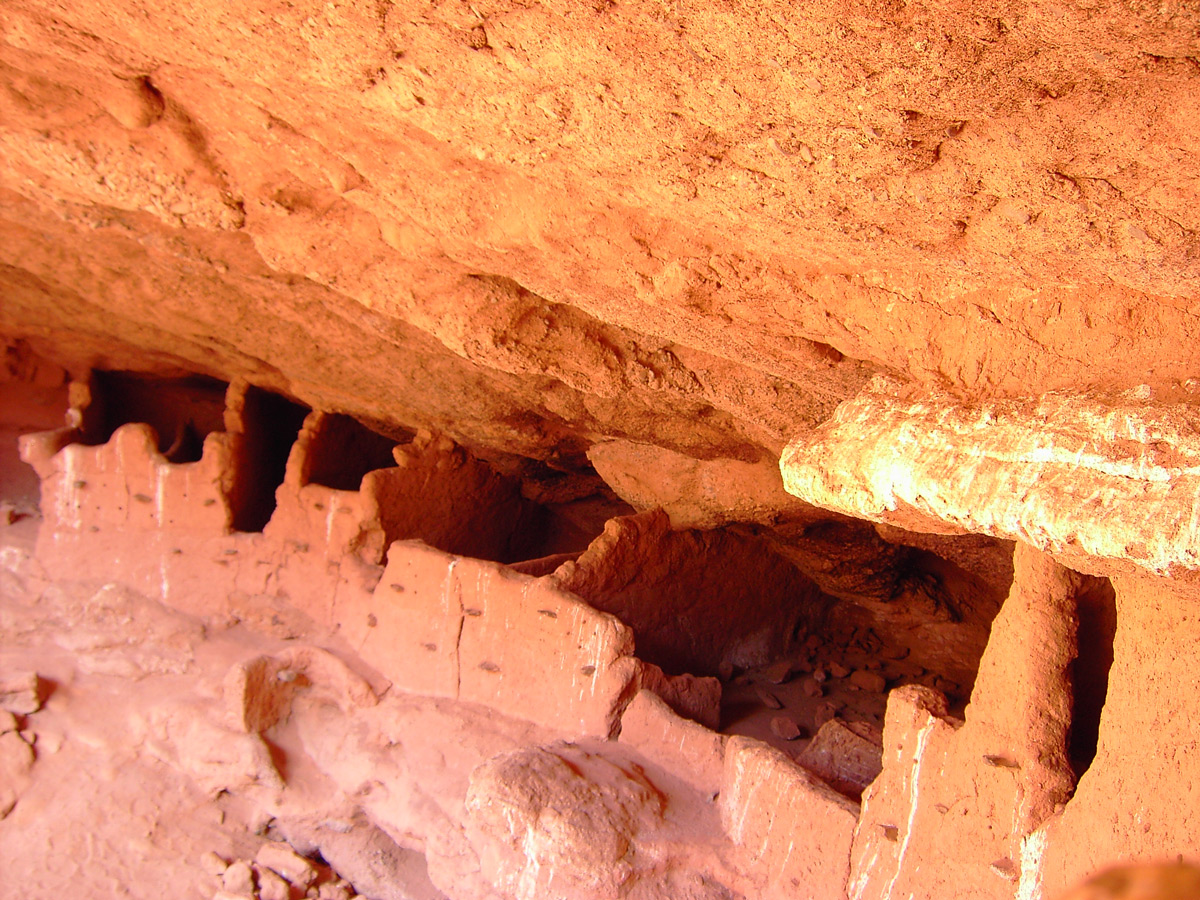
Los sitios arqueológicos propuestos de la provincia de Salta son: Santa Rosa de Tastil, Potrero de Payogasta, Las Peras-Sauzalito, Los Graneros de La Poma; un tramo de camino incaico entre Tastil y Las Capillas pasando por el abra de Ingañan y el Complejo Ceremonial del volcán Llullaillaco.
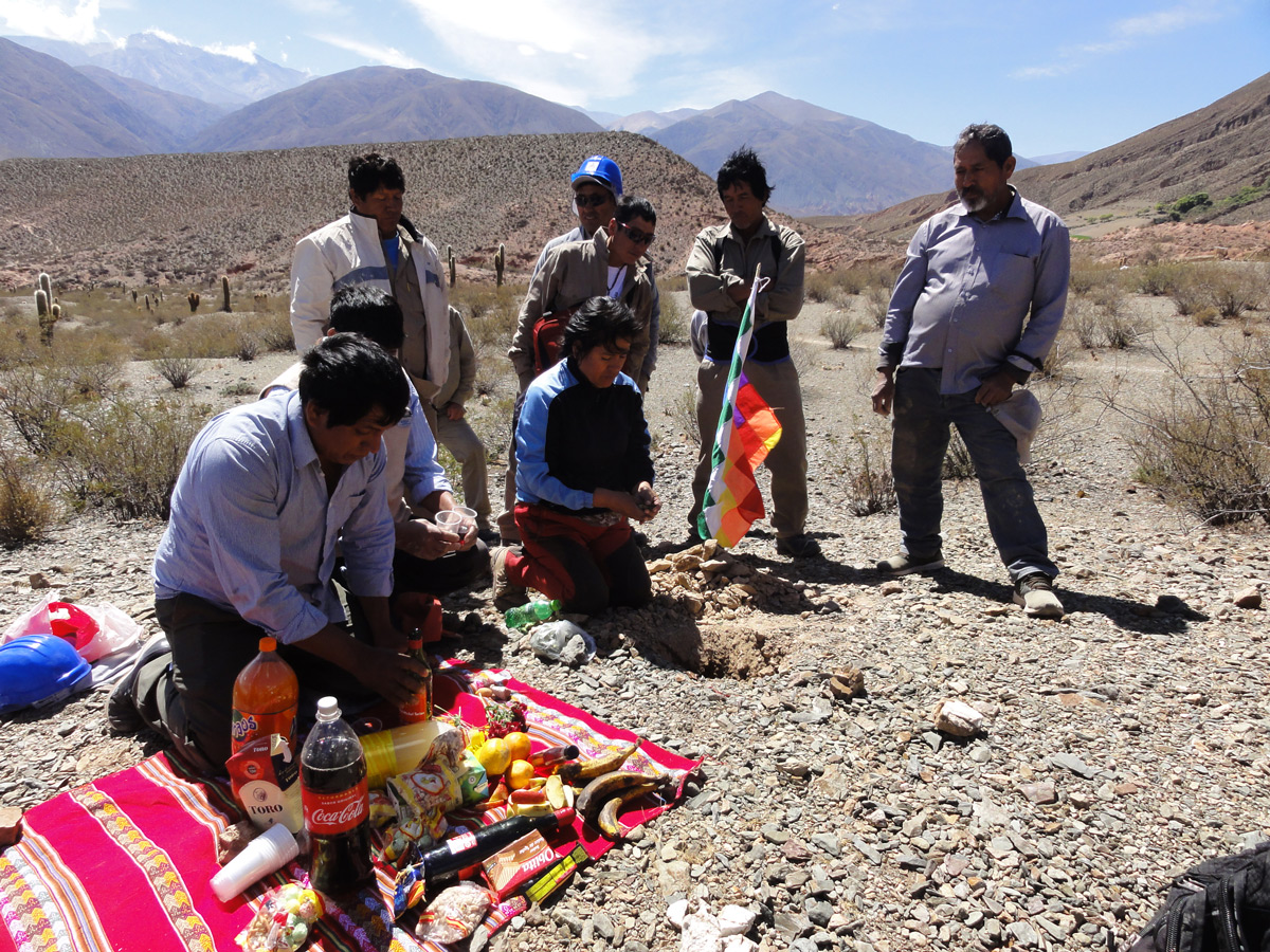
Cada uno de estos lugares posee una historia particular e importancia en el contexto regional e internacional que contribuyen al Valor Universal Excepcional que caracteriza al Qhapaq Ñan.
para más información